The Causeway Houses
The Victoria County History of Berkshire, first published in 1924, notes right at the start of its section on Steventon that,
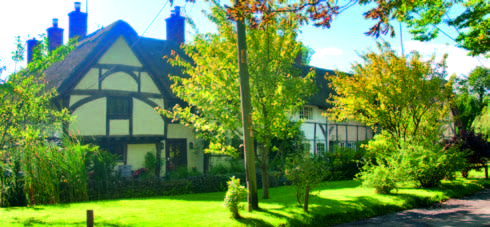
‘The village is peculiarly rich in timber-framed houses and cottages’.


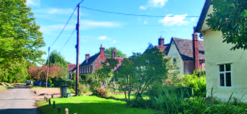
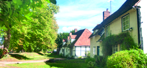
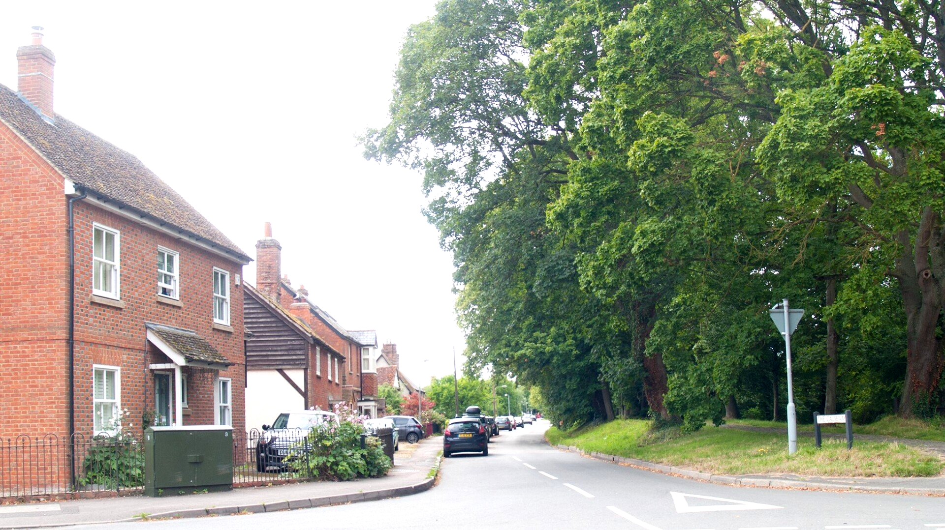
In the main, these houses are situated along the length of The Causeway from Sheepwash Lane in the north-east to the church in the south-west. They have been subject to extensive research largely at the hands of the historian Christopher Currie. Using dendrochronology and other dating techniques, Currie and colleagues have established the age of all the significant houses and this research has been presented in a number of articles in the archaeological journal, Oxoniensia.
The oldest houses
The earliest known surviving building is Tudor House, no 67, The Causeway although Home Farm in Milton Lane contains a wing of similar age. Both date to the late 13th century. The Priory, standing adjacent to Manor Farm and the church, and now in the ownership of the National Trust is dated to the 14th century and there is another dozen or more other houses, which have elements going back to between the 14th and 16th centuries. However, Christopher Currie has also shown that the plots on which these houses stand may be older still and that some of the houses we see today have replaced the original domestic buildings.
The oldest part of the village
What this research suggests is that there have been houses lining The Causeway for eight hundred years. It would be easy to come to the conclusion that these properties represent the oldest part of the village. However, this would be a mistake. It seems more likely that the older parts of the village as we know it today lie in two distinct areas: the cluster of plots in the Sheepwash Lane vicinity, and the area around Mill Street. During the later medieval period (from 1200 onwards) there seems to have been a shift from the two older parts of the village to the plots facing The Causeway. It is an early example of ‘ribbon development’ and might well have been planned, the plots of land being larger and more consistent in size and spacing than the older plots closer to the Ginge Brook. In the 14th and 15th century,
Desirable address
The Causeway was the place to live and the wealthier residents displayed their status by snapping up best plots, sometimes acquiring two together to make one large one: ‘location, location, location’ as they say, was all important! This begs the question, was the construction of The Causeway embankment all part of the same planned development of the village? The answer seems to be no. The obvious clue is that The Causeway was most likely to have been built to ease passage over land that regularly flooded. It wouldn’t make sense to build houses, contemporaneously, alongside it, knowing that they would be subject to frequent inundation. The Causeway was much earlier (Christopher Currie reckons mid 12th century) and the housing development only came along once ditching had been sufficiently improved to ensure effective drainage. It seems that property speculation and town planning are much older than we might think
