The old field names of Steventon
The later medieval period
From the start of the 15th century, the Lord of the manor of Steventon was Westminster Abbey. This has proved particularly useful for local historians as the Abbey administrators were meticulous in their archiving of all papers relating to our village.
Land transfers and disputers
As Steventon was first and foremost a farming community, surviving papers invariably relate to land transfers or disputes and this gives us a treasure trove of old field names. Furthermore, because these names were used generation after generation, many of them still appeared on estate maps of the 19th century. The land they refer to can often be pinpointed quite accurately.
Peasant names
Many field names incorporate personal names giving a hint of the peasants who toiled these lands centuries ago. For instance, Clare’s Close, Daniel’s Corner, Collys Croft, Alwardeslond, Beylerdeslond are all derived from the names of people associated with particular pieces of land, the latter two to a period when Old English was still in use. The location of some of these can be tracked down; for instance, Daniel’s Corner was the land on the west side of the Drayton Road opposite the bakery.
Landscape features
Other names relate to features of the landscape. Elmestubbe, first recorded in 1386 is derived from the stump of the elm tree; Lynchehalfe appears in various spellings throughout the 15th century and has a probable origin as the half acre by the bank. Nanhill, possibly derived from cnoll-hyll was first recorded in 1440 and lies east of the Millenium Wood on Drayton Road.
Furlongs are still visible
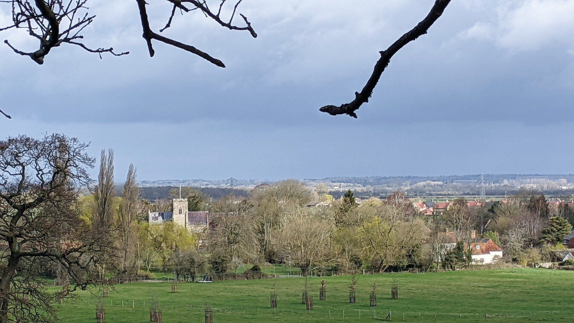
In places, clear evidence for these ancient furlongs can still be seen on the ground. For instance, whilst walking along the footpath above Hill Farm on a summer’s evening, looking down the slope leading towards the Ginge Brook, the sun’s rays pick out the ridge and furrow of Rickyards Close, first mentioned in 1654 as The Reek Yard, but also known as The Rush on a 1757 estate map. The ridge and furrow remains because at some point, before the use of the modern plough, the land was converted to pasture thereby fossilising the medieval landscape
